ABOUT US
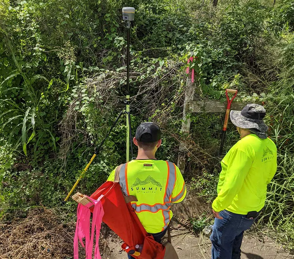
Summit Geomatics Inc. (Summit) is a professional land surveying firm headquartered in San Antonio, Texas. It was created in 2021 to serve Central and South Texas by providing quality land surveying services to our clients. Summit is a small business with talented professionals dedicated to meeting our clients’ vision. Our team has successfully completed survey projects, ranging from small residential properties to larger survey projects for land development projects and public clients.
OUR
SERVICES
Boundary Surveys
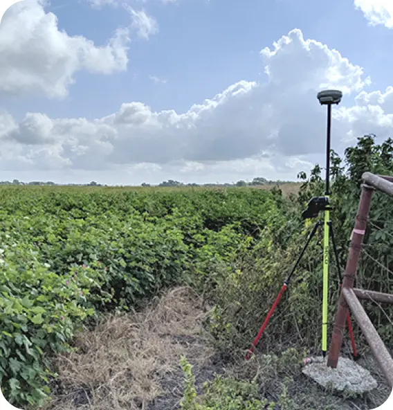
Boundary surveying is the foundation of the land surveying profession. Our team provides surveying for tracts large and small and everything in between.
Commercial Title Surveys
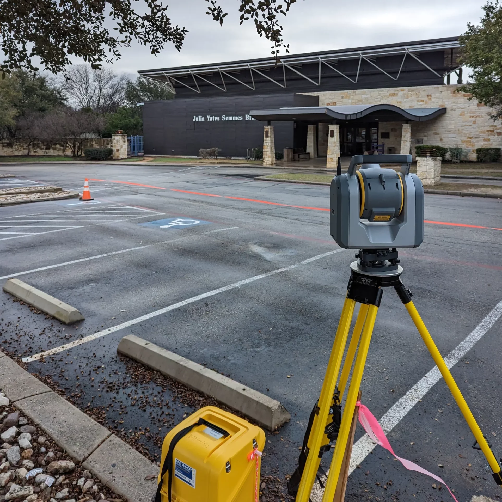
TSPS Category 1A, HUD Survey or ALTA/NSPS Title surveys. Let our team help navigate your project through specialized lender survey requirements.
Subdivision Platting
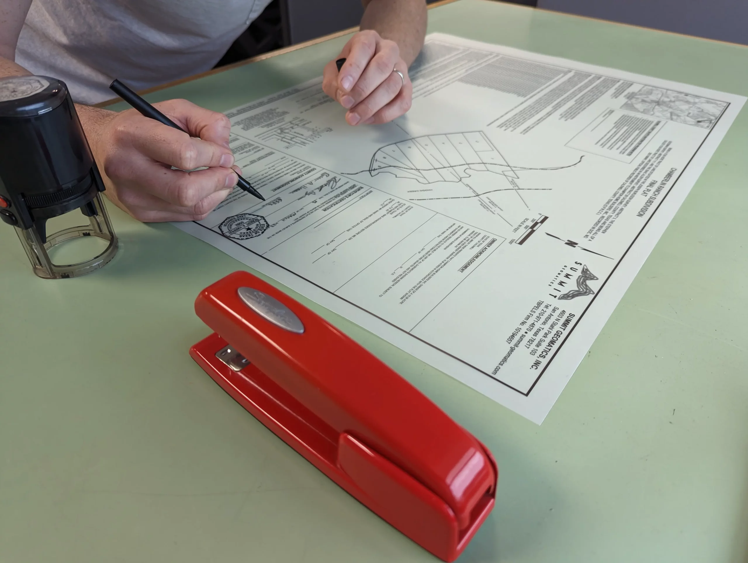
A subdivision is when a land owner divides their property into two or more tracts. Our team has provided platting assistance on 100 lot subdivisions and 1 lot replats.
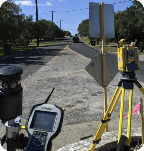
Topographic Design Surveys
Our team has successfully completed many design surveys used for local developments, nearby municipal projects and far away TxDOT roadway projects.
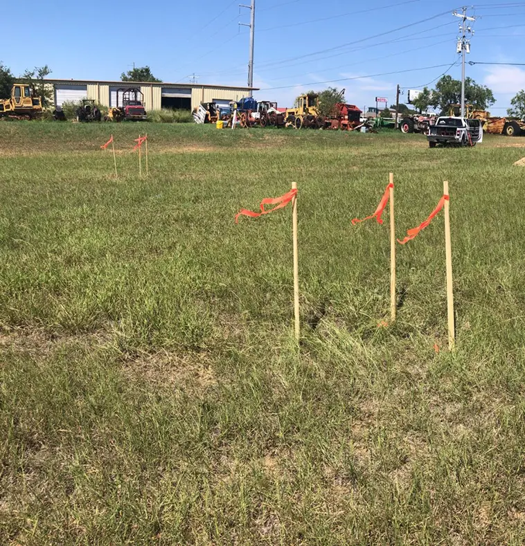
Construction Staking
Summit Geomatics can provide construction staking for a variety of needs your project may have.
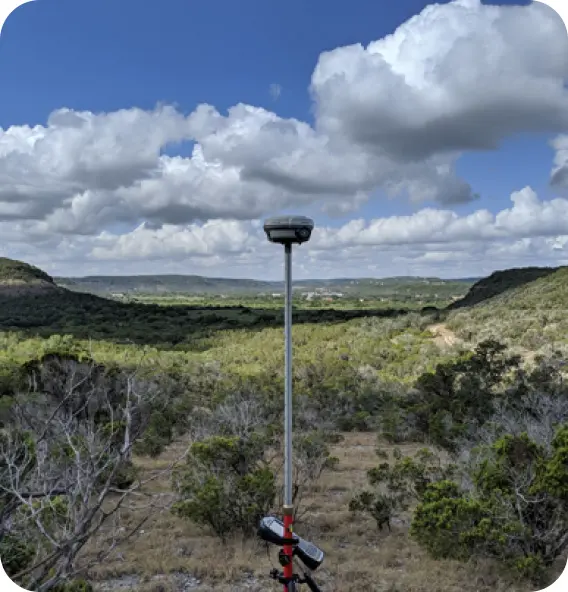
Public Clientele
Our staff has experience working for a variety of public clients such as the City of San Antonio, San Antonio Housing Authority, City of Selma, City of Kerrville, SAWS and TxDOT.
WHY CHOOSE SUMMIT?
RELIABLE
Our staff is dedicated to the safety of our employees and the quality of our work. Our company standards and QA/QC processes ensure that our data is ready for our clients’ designs. Our team strives to maintain an open line of communication with our clients and excel in our role as a sub-consultant to design teams.
PROFESSIONAL
As a premier Texas land surveying company, our professional land surveyors are experienced in surveying for both public and private clients. We utilize the latest surveying technology and techniques to provide accurate and reliable results to our clients.
CERTIFIED & LICENSED
Summit Geomatics, Inc. is a Hispanic owned company and is certified by the SCTRCA (South Central Texas Regional Certification Agency) under the following categories: DBE, HUB, ESBE, HABE, MBE and SBE. Our firm is licensed with the Texas Board of Professional Engineers and Land Surveyors, and our staff has professional survey licenses in Texas and Louisiana and are TxDOT precertified in categories: 15.1.1, 15.2.1, 15.2.2, 15.3.2, 15.3.3, 15.3.5.