MEET OUR TEAM
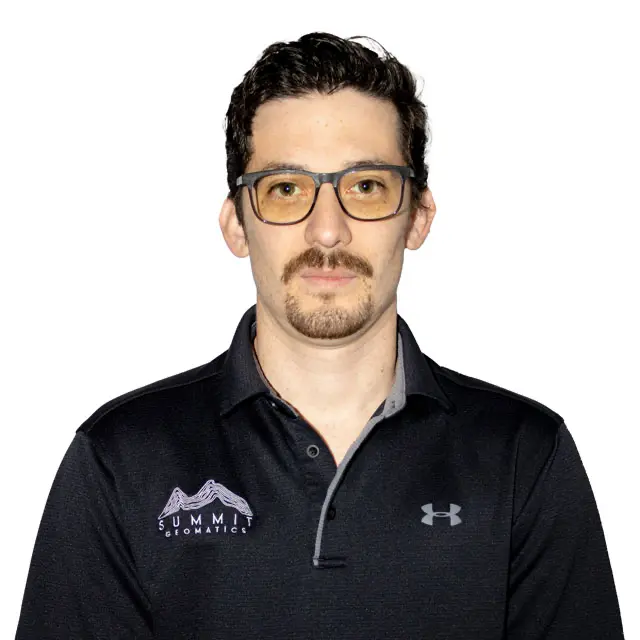
ROBERT HARPER, RPLS
President
RHarper@summit-geomatics.com
Education: B.S. | Industrial Technology | University of Texas at Tyler 2013
License: Registered Professional Land Surveyor (Texas) No. 6582, (Louisiana) 5240
LinkedIn: https://www.linkedin.com/in/robert-harper-145ab963/
Mr. Harper is a registered professional land surveyor with licenses in Texas and Louisiana. He began his surveying career as a rodman in Harris and Montgomery counties before moving to East Texas to pursue an associate degree in Land Surveying at Tyler Junior College. While in East Texas, Mr. Harper worked under Terry Hedrick, RPLS, in Kilgore, Texas, where he gained experience in researching, performing fieldwork, and drafting East Texas boundary surveys. As an RPLS, Mr. Harper’s experience includes managing survey projects for public clients such as TxDOT, the San Antonio Water System (SAWS), the City of San Antonio, the City of Selma, the City of Kerrville, Harris County Toll Road Authority, Fort Bend County Toll Road Authority, and the City of Sugar Land. Additionally, he has worked on many single-family land development projects in the Houston, Austin, and San Antonio markets.
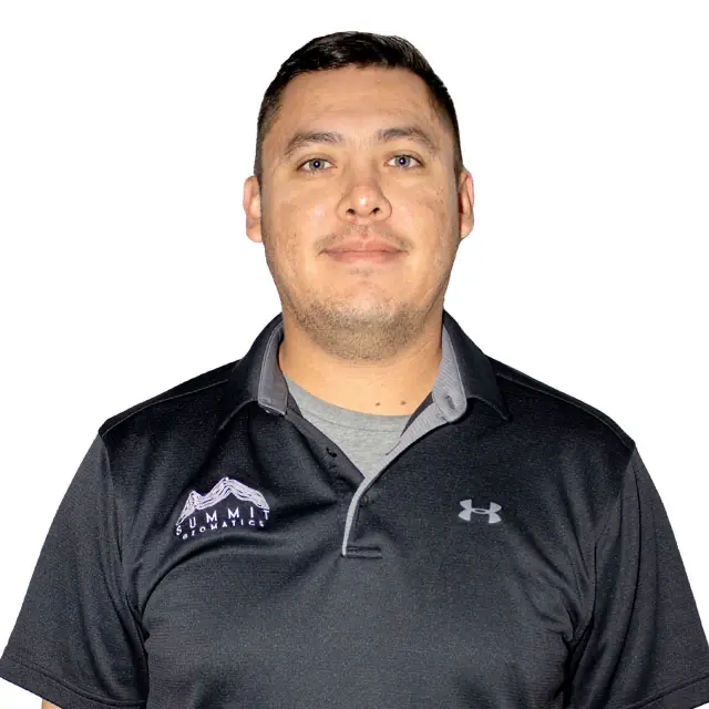
JORGE BERNAL
VP, Field Operations
JBernal@summit-geomatics.com
Education: In-progress | Civil Engineering | Universidad Autonoma de Nuevo Leon – Monterrey, Mexico| 2012-2015 | University of Texas at San Antonio – San Antonio, TX| 2016-2018
LinkedIn: https://www.linkedin.com/in/jorge-bernal-2b8848203/
Mr. Bernal began his career as a civil designer, primarily working on commercial, multi-family, and residential land development projects in the City of San Antonio. He performed all aspects of project development, including preliminary analysis, design, preparation of plans and specifications, stormwater design, hydrologic and hydraulic modeling, floodplain mapping, and roadway design. Jorge has experience in both office and field surveying for a variety of public and private sector projects. He has provided boundary surveys, topographic and tree surveys, subdivision platting, easements, ALTA/NSPS and TSPS Category 1A surveys, and construction staking for roadway, utility, commercial, and residential work.
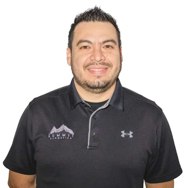
ODIE BERNAL
VP, Survey Manager
OBernal@summit-geomatics.com
Education: B.S. | Architecture | Universidad Autonoma de Nuevo Leon – Monterrey, Mexico| 2009
License: Registered Professional Land Surveyor (Texas) No. 6941
Architect (Mexico) No. 6432630
LinkedIn: https://www.linkedin.com/in/odie-bernal-rpls-951430179/
Mr. Bernal is a Registered Professional Land Surveyor licensed in Texas. After obtaining his formal education and licensure as an Architect in Mexico, he transitioned to construction management, civil design, and then to land surveying. He has over a decade of experience in land surveying and has extensive project management experience supervising survey field crews and office technicians. He possesses a strong technical skillset in AutoCAD Civil 3D and other land survey software packages. Mr. Bernal has successfully completed many survey projects such as ALTA/NSPS and Category 1A surveys, residential and commercial title surveys, boundary surveys, topographic surveys, tree surveys, FEMA elevation certificates, and construction staking for roadway, utility, commercial, and residential work. He has completed final subdivision plats in the City of San Antonio, Bexar County, and various nearby municipalities. Mr. Bernal is also experienced in surveying for public clients such as the City Public Service Board of San Antonio (CPS) and San Antonio Water System (SAWS), TxDOT, the City of San Antonio, the City of Martindale, and Guadalupe-Blanco River Authority (GBRA). Mr. Bernal has experience in a wide range of land surveying and engineering projects, including commercial sites, industrial sites, single-family, and multi-family projects within the Central and South Texas area.


