ALTA/NSPS STANDARDS 2021 UPDATE

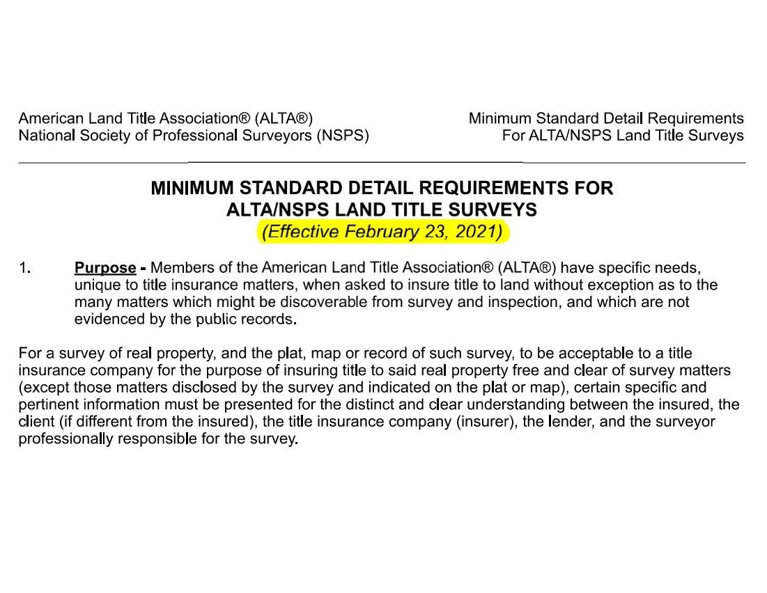
The American Land Title Association (ALTA) and National Society of Professional Land Surveyors have adopted a revised version of the ALTA/NSPS standards which went into effect February 23, 2021.
2021 ALTA/NSPS Standards – https://www.nsps.us.com/page/2021ALTA
There were some changes to the overall language and scope of the ALTA/NSPS survey and we want to quickly highlight some changes to the Table A “OPTIONAL SURVEY RESPONSIBILITES AND SPECIFICATIONS”. The Table A items required by the lender should be provided prior to the surveyor preparing a fee estimate.
Say goodbye to the 2016 Table A items 10(b) and 18. These items have been deleted and are not listed on the new 2021 ALTA/NSPS standards.
10. (b) As designated by the client, a determination of whether certain walls are plumb (client to obtain necessary permissions).
18. If there has been a field delineation of wetlands conducted by a qualified specialist hired by the client, the surveyor shall locate any delineation markers observed in the process of conducting the fieldwork and show them on the face of the plat or map. If no markers were observed, the surveyor shall so state.
Other notable changes to Table A items.
- Table A items 6(a) and (b) have been modified. Zoning reports must be provided to the Surveyor in order to complete this task.
- Table A item 11 – significant changes to language
- 11a – plans and/or reports provided by client
- 11b – markings coordinated by the surveyor pursuant to a private utility locate request
- Table A item 19 – modified language
Reach out to Summit Geomatics for more information, and to order your ALTA/NSPS survey for project in San Antonio and the surrounding areas.

NEED YOUR PROPERTY
SURVEYED?
Summit Geomatics, Inc. is a professional land surveying firm headquartered in San Antonio, Texas. Summit Geomatics, Inc. is a small business created to serve Central and South Texas by providing quality land surveying to our clientele.
We are here to serve your project’s specific needs from rush real estate closings to GIS mapping solutions. Our experience and unique skill set allows us to serve you by providing geospatial solutions tailor made for your needs.