The Modern Survey Crew.

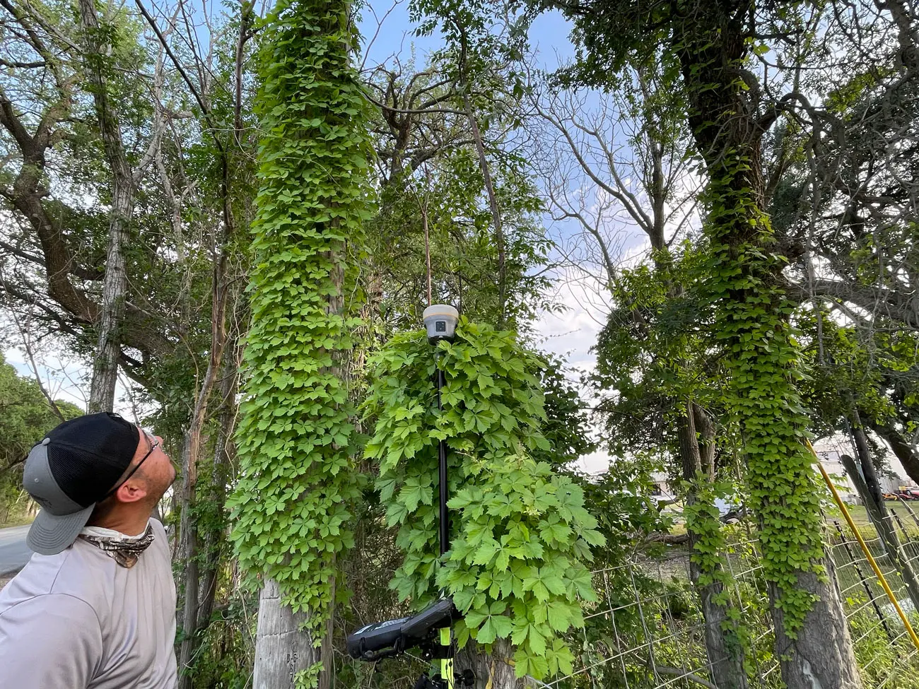
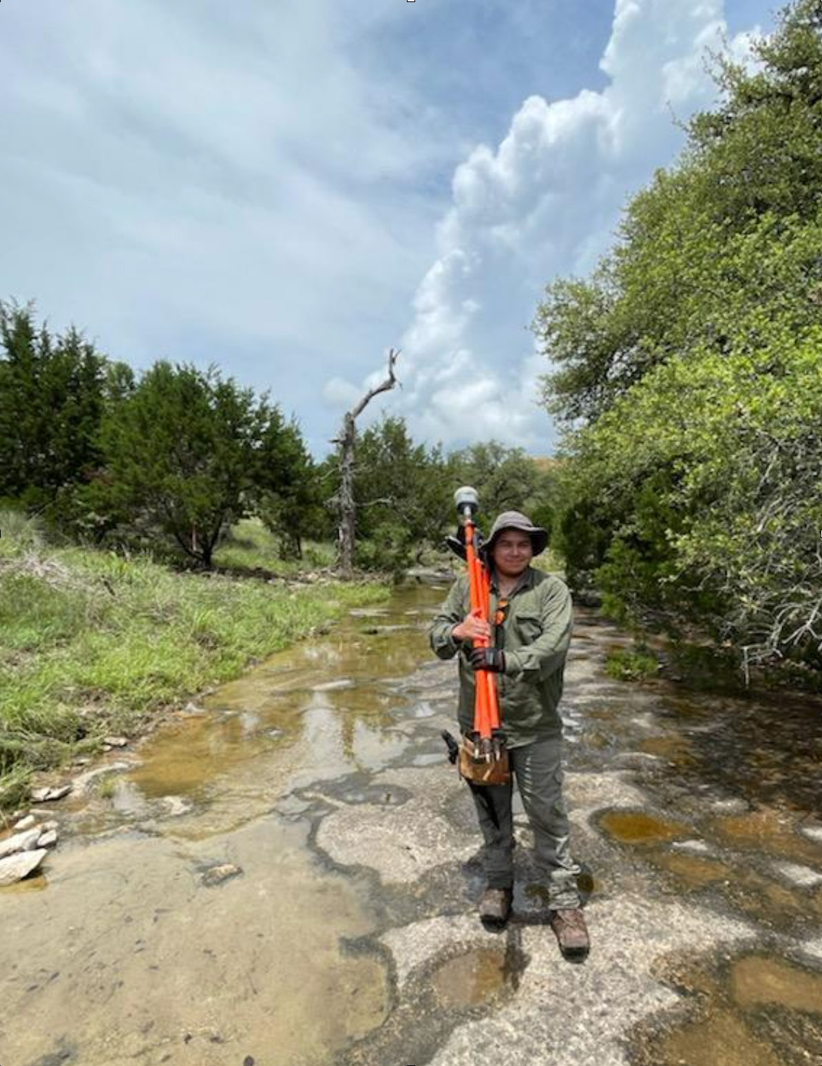
Historically, land survey field crews have consisted of three or more individuals. In the early days of surveying lands in Texas, the surveyor’s team consisted of chain carriers, brush cutters, and other jobs needed at camp such as hunters and cooks. With today’s conveniences we have eliminated the need to camp on site and survive off of the land while conducting field surveys, but the need for retracing the original surveyor’s footsteps remains. Today’s surveyor must be a bit of a “renaissance man” Summit Geomatics’ field crews consists of individuals who are comfortable working in the elements, digging and cutting brush to search for boundary monuments and take measurements. Our staff is also skilled in trigonometry and geometry to make field calculations and operate state of the art survey equipment.
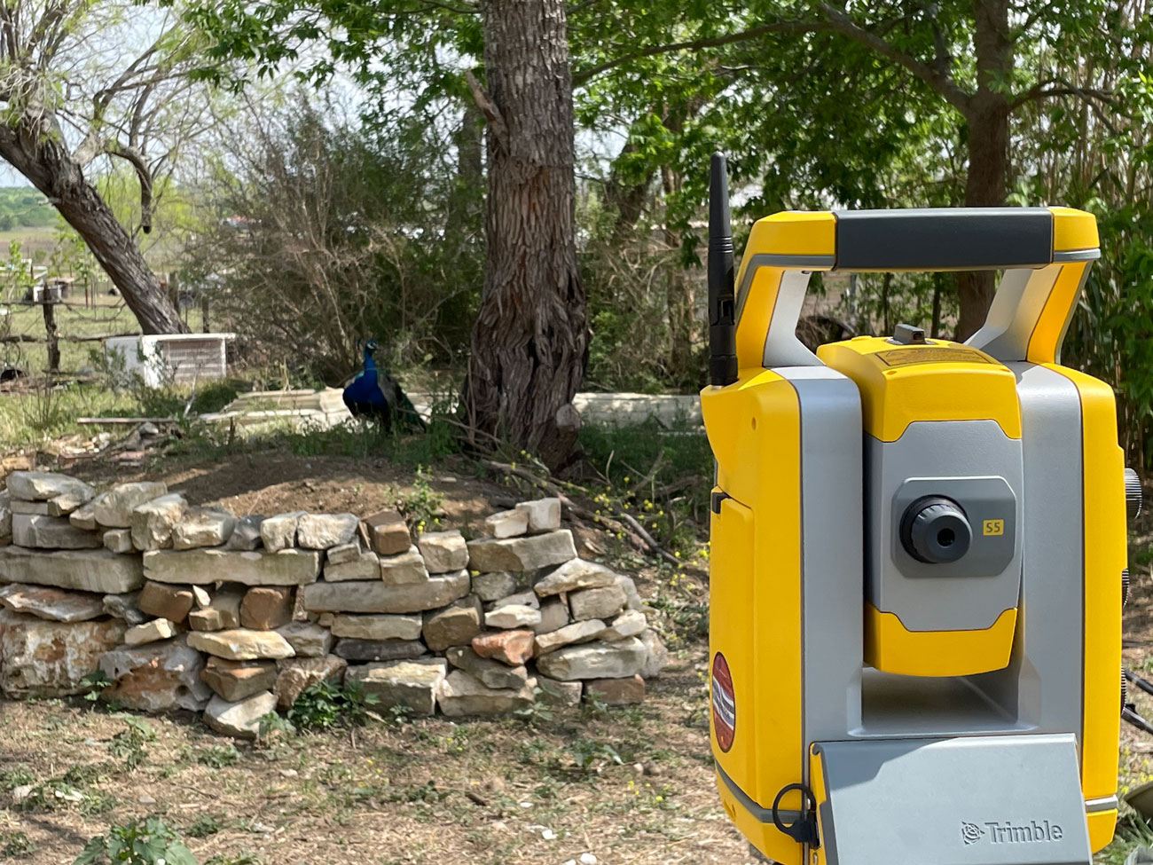
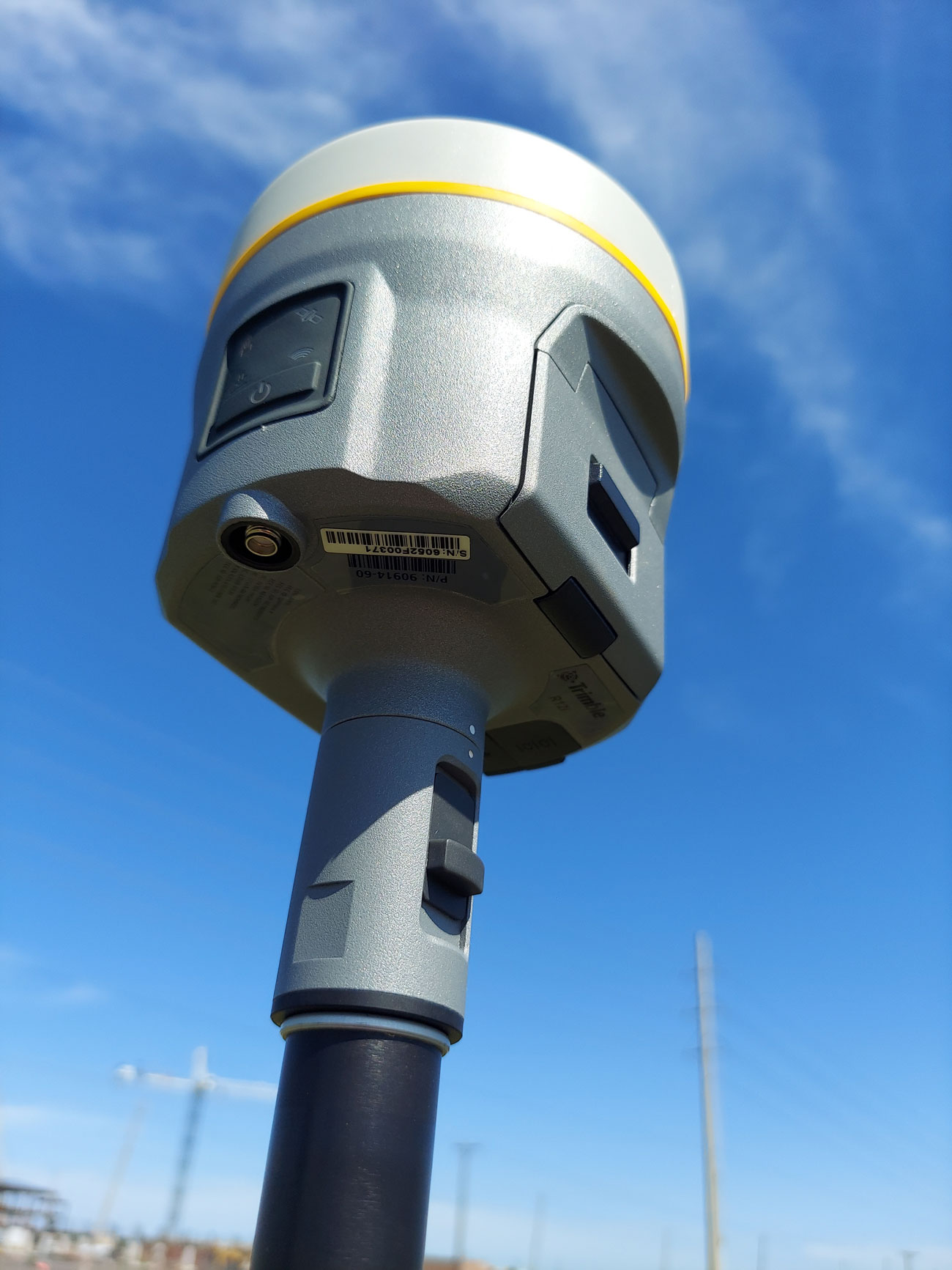
Our firm uses the latest Trimble Equipment and currently runs R12i GPS receivers, Trimble S5 robotic total stations, TSC7 data collectors with Trimble Access and a drone w/PPK GPS capabilities in order to accurately produce geo-referenced aerial photos.
Another important tool of the modern survey crew is utilizing standardized linework codes in order to streamline processing of field data into final CAD deliverables. Summit Geomatics incorporates this technique into all of our projects to help QC of our data, and ensure compatibility with different software packages, primarily Autodesk Civil3D and Bentley Microstation/GeoPak. Contact us with any questions or for more information on survey projects in the San Antonio and the surrounding areas.
NEED YOUR PROPERTY
SURVEYED?
Summit Geomatics, Inc. is a professional land surveying firm headquartered in San Antonio, Texas. Summit Geomatics, Inc. is a small business created to serve Central and South Texas by providing quality land surveying to our clientele.
We are here to serve your project’s specific needs from rush real estate closings to GIS mapping solutions. Our experience and unique skill set allows us to serve you by providing geospatial solutions tailor made for your needs.